Lötschepass
If you want to travel from the Swiss canton of Bern to the canton of Valais, which lies to the south, you can take one of two rail tunnels. The Lötschberg tunnel connects Kandersteg to Goppenstein, and the much more recent Lötschberg Base tunnel goes from Frutigen to Raron. This second tunnel cut the travel time in half, is twice the length and 400 m lower than the older tunnel. Alternatively, you can walk over the top by hiking the Lötschepass (2690 m). At the pass, you would have no idea that trains are passing 1.5—2 km below.

Doldenhorn and Gasteretal.
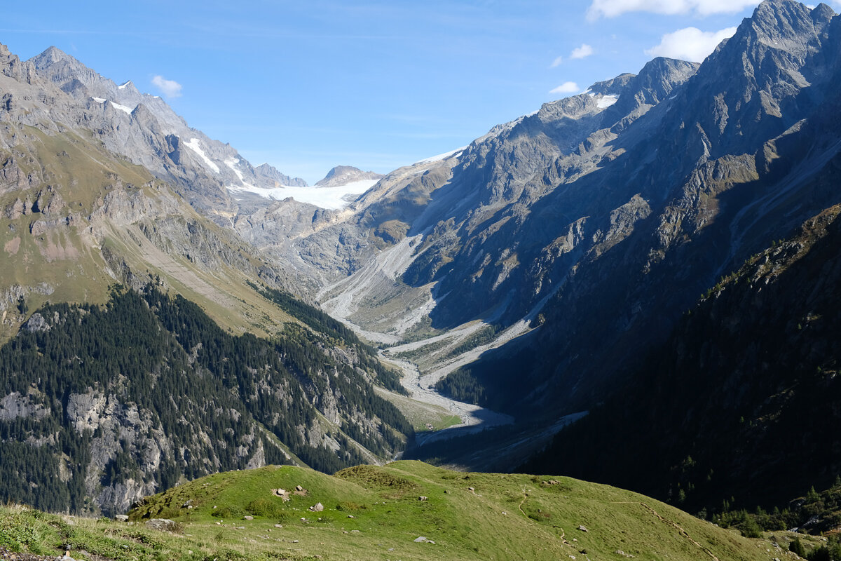
Tanya and Florence and I hiked over the pass, starting from the town of Selden in Gasteretal. We climbed steeply to the Lötschegletscher, which the path crosses without fuss; it looks and feels like walking on gravel, except that every so often the blue ice of the glacier peeks out.
Gasteretal.

Lötschegletscher and the walls of Balmhorn.
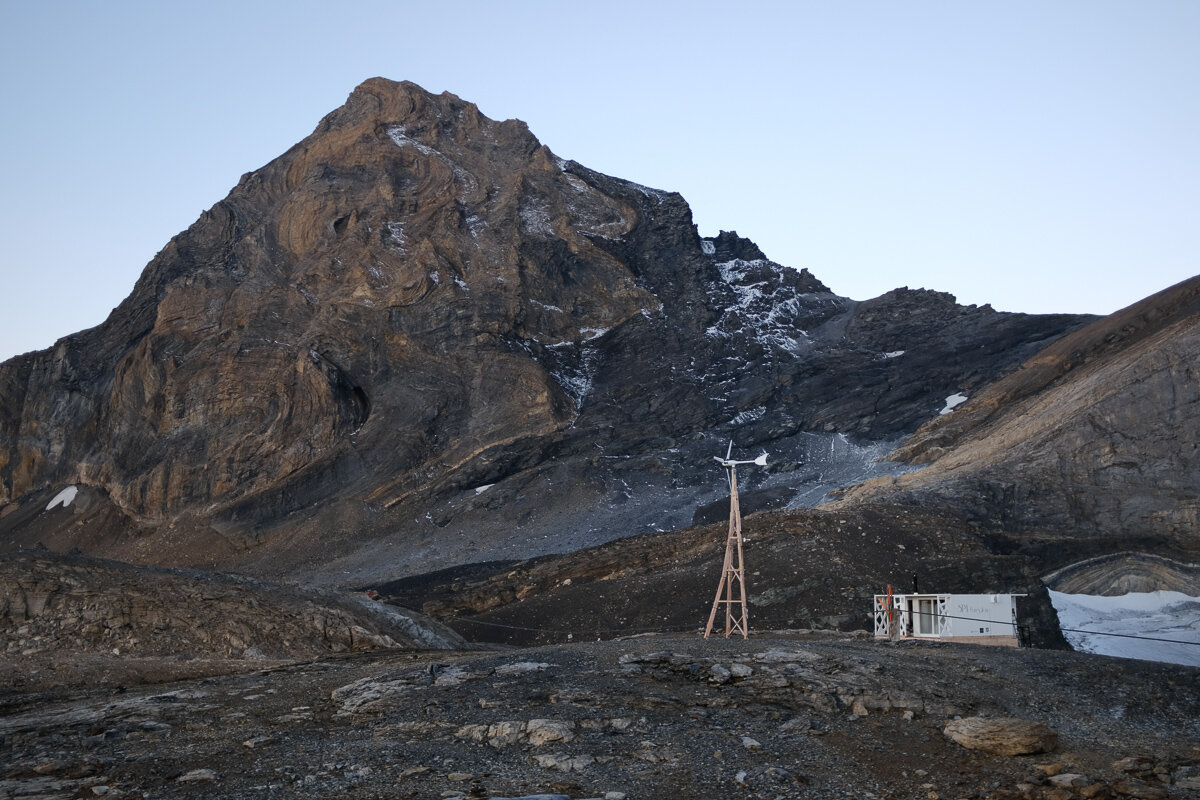
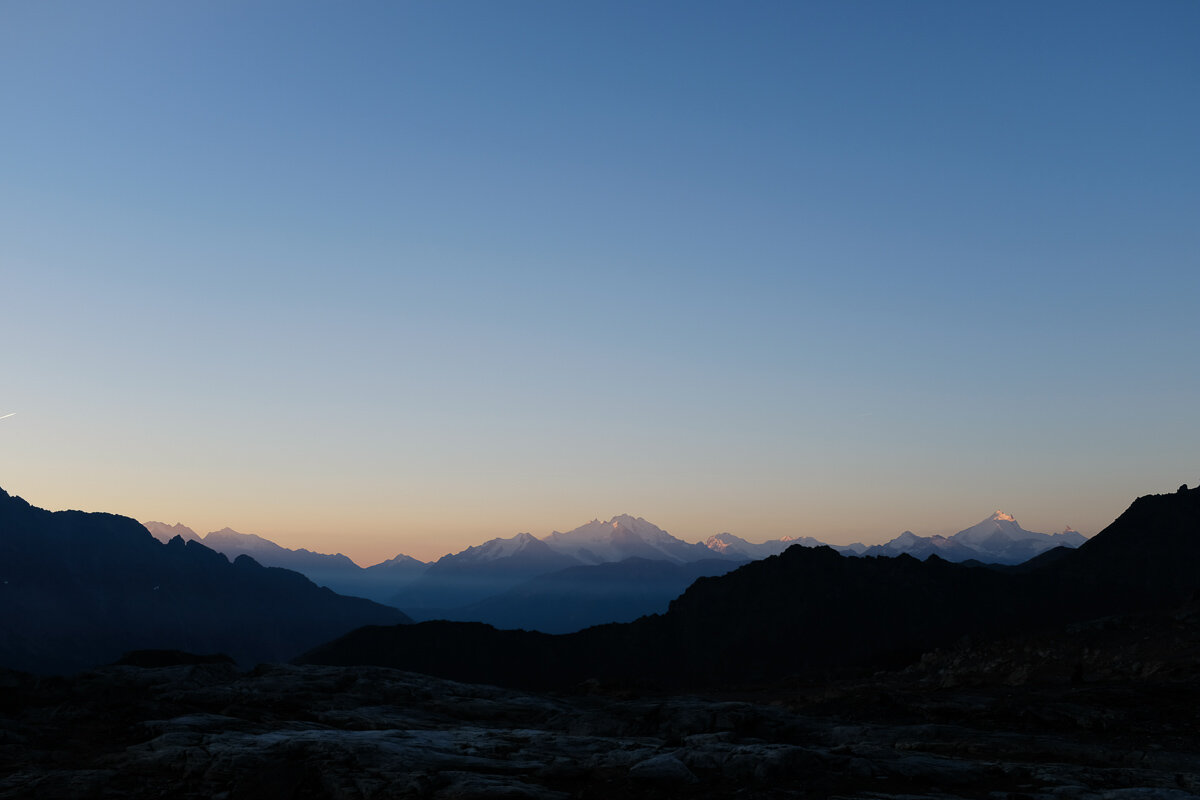
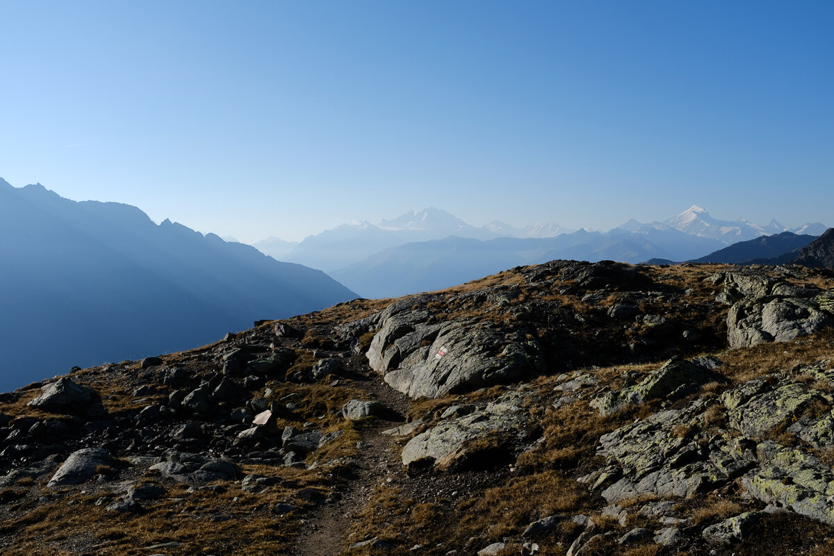
There's a cabin at the pass, perched in a stark rocky landscape between mountains. We walked past the hut and continued to a good view point at about 3030 m. From there we could see a lot of the Valaisan Alps and had an epic view of the Doldenhorn in one direction, and the Bietschhorn in the other.
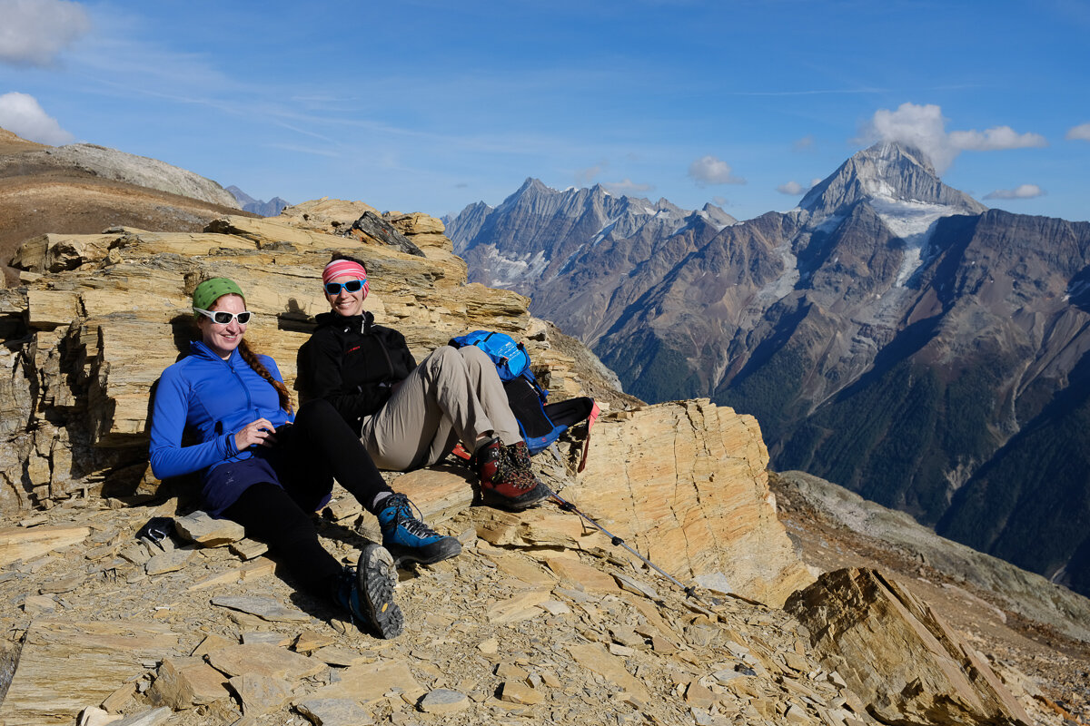
At our lookout point.
Doldenhorn (3643 m) across the Gasteretal.

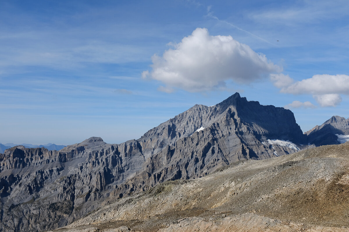
Bietschhorn (3934 m) across the Lötschental.
We stayed in the Lötchepasshütte that night. In the evening the setting sun lit up Bietschhorn and the bright golden mineral landscape surrounding the cabin. In the morning the view was even more spectacular — the clouds had disappeared overnight and the first rays of sun lit up the big peaks of the Valaisan Alps in a gorgeous array of colours.

Evening light on Bietschhorn.

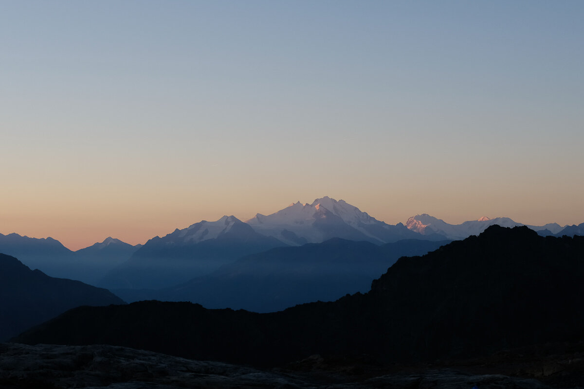
Morning light on Switzerland's highest mountains. Dom (4545 m) in centre, and the Monte Rosa massif (4634 m) on its right.
Ferdenrothorn (3180 m).

Dom, Monte Rosa, and on the right the light catching Weisshorn (4506 m).

Light rays appearing over Bietschhorn.
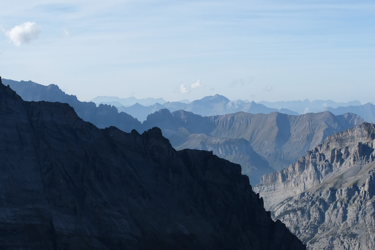
We walked along the höhenweg path into the Lötschental. This path stays high along the valley and contours along almost its entire length, gently dropping height to end up in Fafleralp. Early on I heard a distinctive growling chirp and sure enough there was a group of lagopède alpin (rock ptarmigan) hanging out next to an alpine lake. Further down we walked through brilliant larch forest and past babbling streams to end up in the valley.
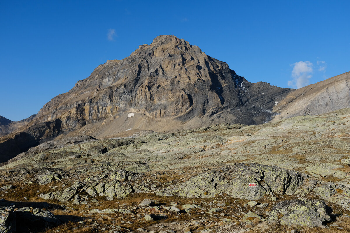
Looking back at the incredible rock folds in Ferdenrothorn.
Amazing walking. On the right is Weissmeis and the (very tiny) Matterhorn.
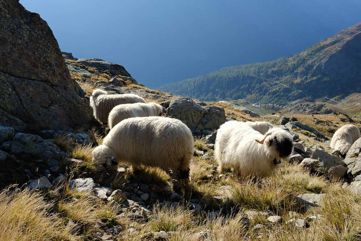
So fluffy!

A lone mélèze amongst the red blueberry bushes.
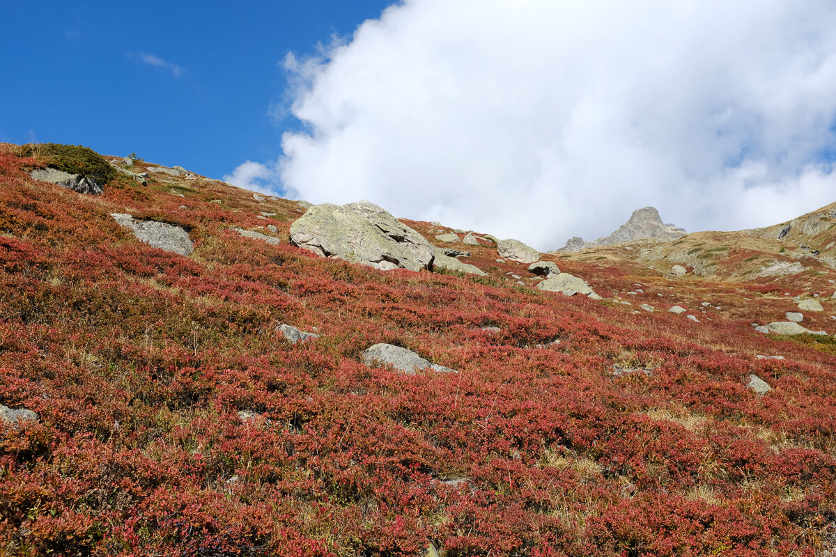
Red bushes, blue berries.
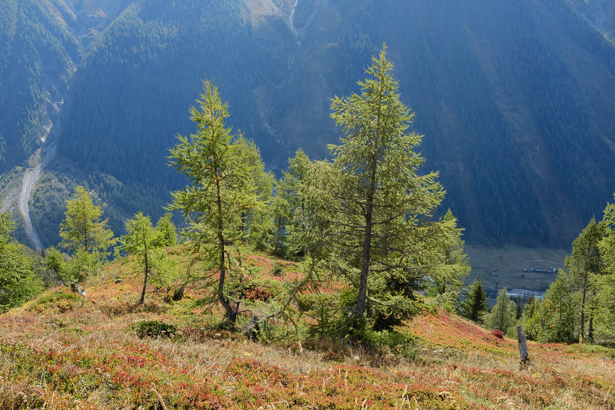
Mélèzes over Lötschental.
From Fafleralp it was an easy Postbus ride to Goppenstein. After a wonderful weekend of hiking across the Lötchepass, we caught the train back to Bern. In the dark of the Lötchberg tunnel it was surreal to think that only hours before we were directly above that point, oblivious to passing trains, watching the sun rise over the Alps.

Finishing off the hike towards Fafleralp.