Dixence to Louvie
After our walk from Val de Moiry to Val d'Hérens, Tanya and Andy continued to Evolène and I took a train back to Lausanne. Two mornings later I returned and met the sisters at the Cabane de Prafleuri. It should be pointed out that in the meantime, Tanya and Andy had walked from Arolla to the Cabane de Dix and stayed the night there. By the time I met them mid-morning the next day, they had already been walking for four hours and 11 km since leaving their cabin, and had climbed over the Col des Roux — not that you could tell.
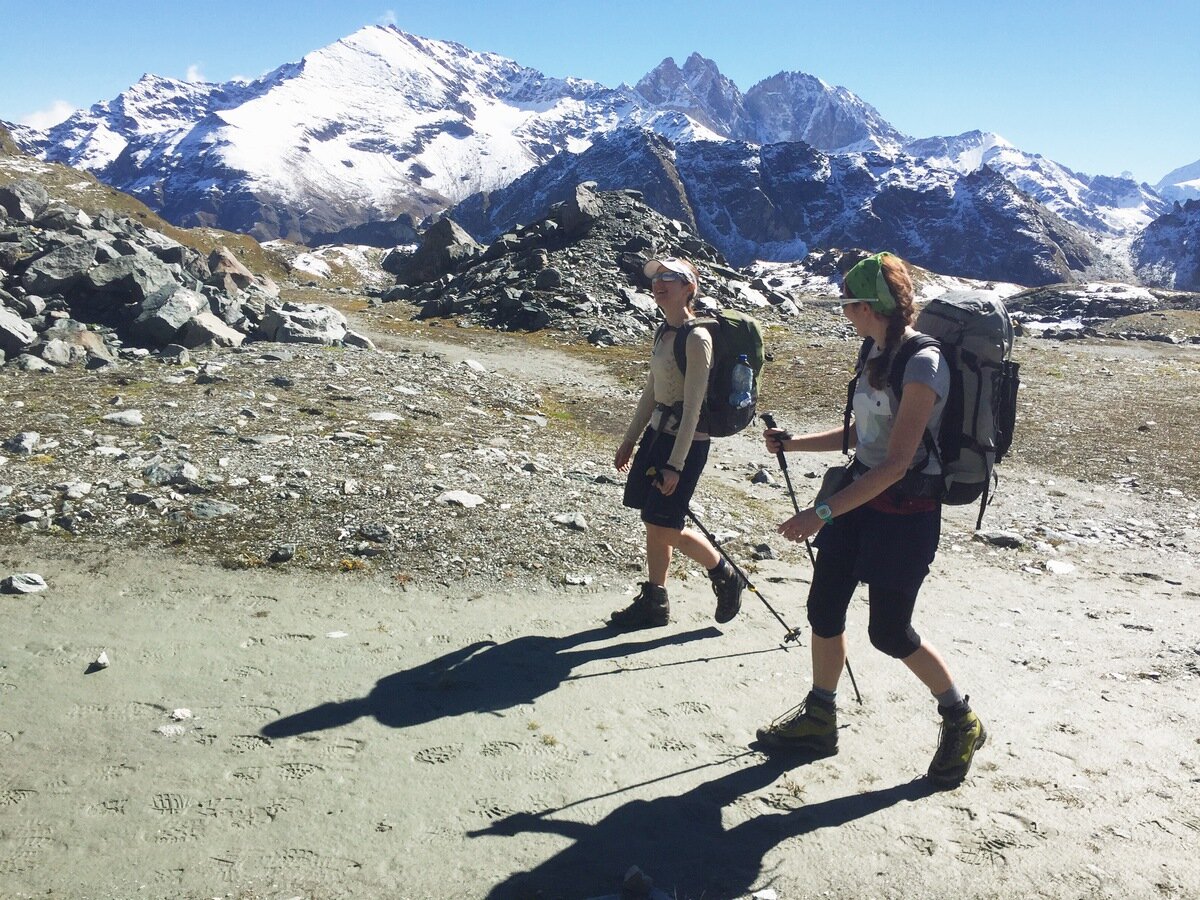
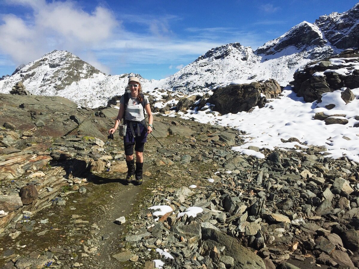
Andy and Tanya, as fresh as ever.
My own walk in to the meeting point had its own mini-adventure. I took the bus to the Grand Dixence dam, which is so huge that there is a cable car to take you from the base to the top of the dam wall. I took the cable car up and set off for what should have been about a 45 minute walk in to the hut, through the Combe de Prafleuri. I could hear barking coming from down the valley. Soon enough I met a group of hikers coming the other way who told me to be careful because the barking was coming from a livestock guardian dog with a flock of sheep. These hikers had had their passage blocked by the dog for an entire hour. They had made it past eventually, but they weren't enthusiastic about my chances. As I continued gingerly towards the sheep I tried to remember what I had read in a pamphlet about encountering livestock guardian dogs. All I could remember was that the dog would run towards and bark at any intruders. Just as I realised that I couldn't remember what one is supposed to do in such a situation, the dog appeared above me, running fast towards me and barking loudly.
The dog, by the way, was a patou, a very fluffy white thing which in any other situation would look friendly. He did not look friendly in this situation. I was unwilling to test the readiness of the dog to take its defence of the sheep past just barking, so I backed off. Studying the map I found another path which was higher in the valley, so I back-tracked to the turn off and took it, all the while hoping that the dog would not cut me off at the pass. As it was, I received another stern barking and a sharp look from the dog, but was able to skirt the flock and arrive at the cabin only a few minutes late.
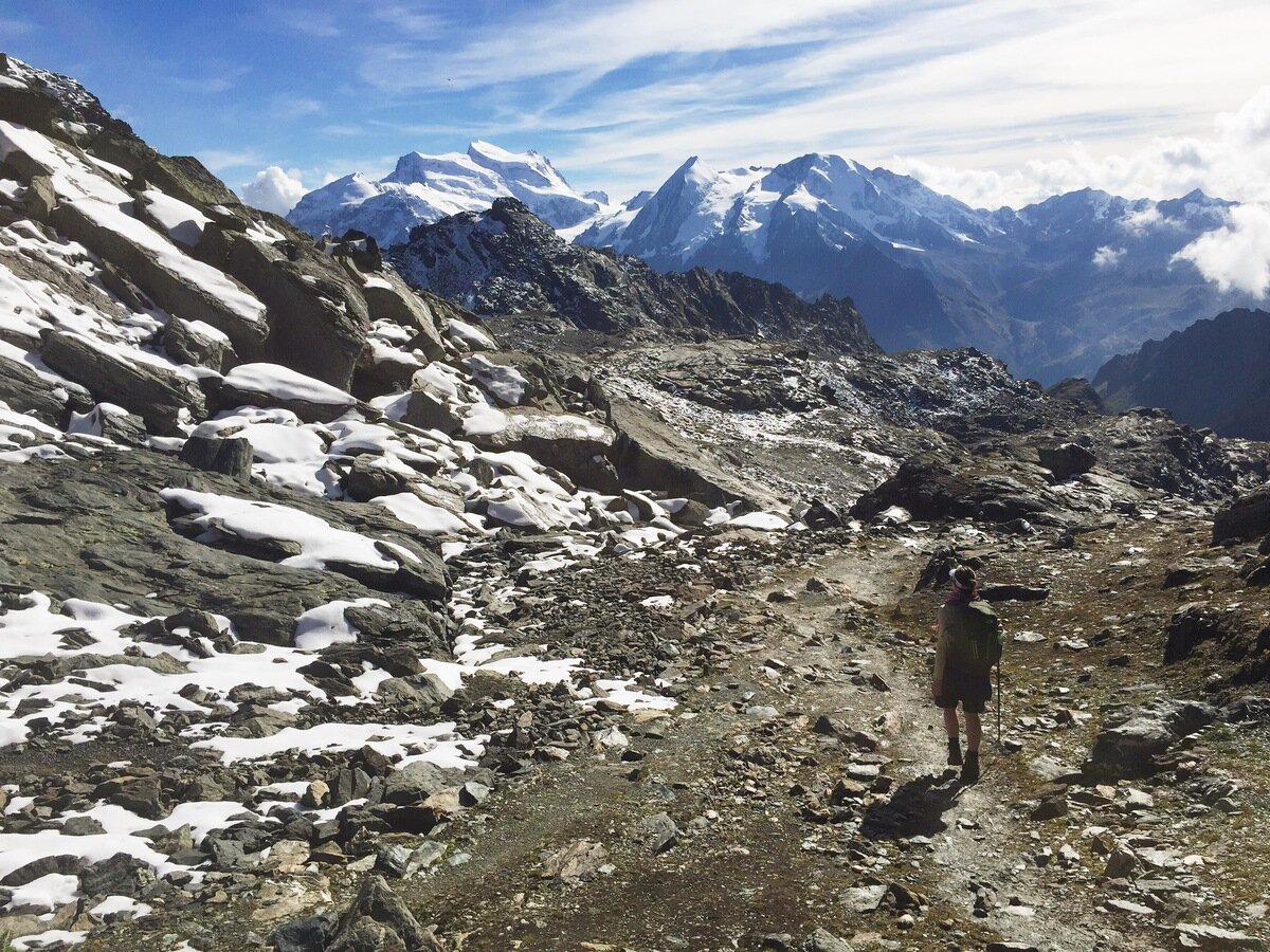
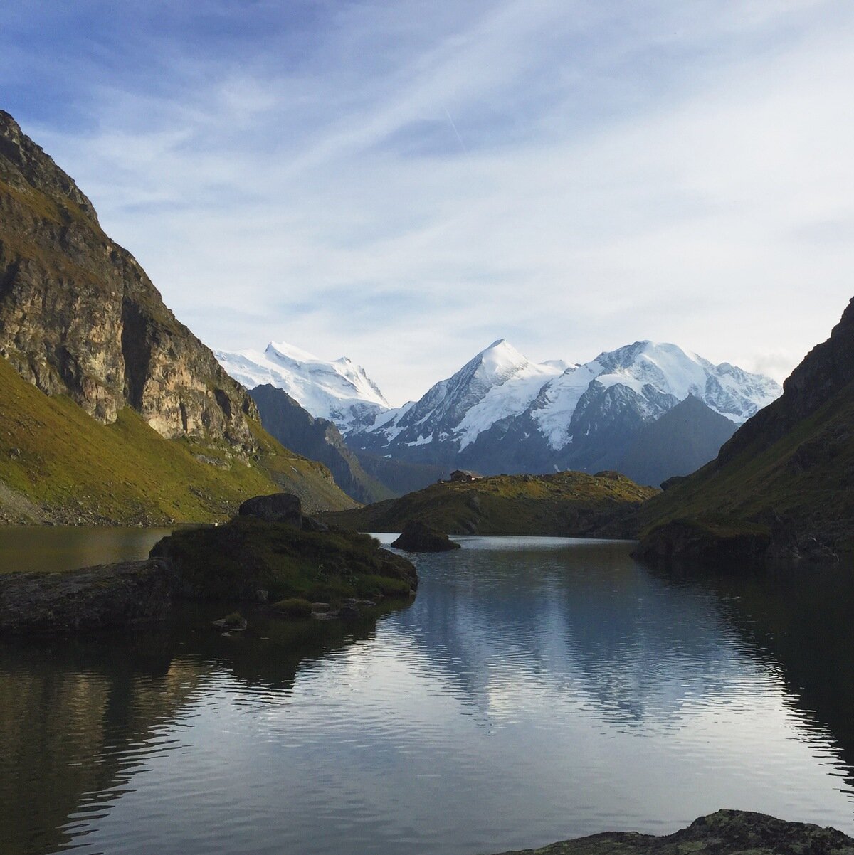
Just above the Cabane de Prafleuri. Pigne d'Arolla and Mont Blanc de Cheilon in the background.
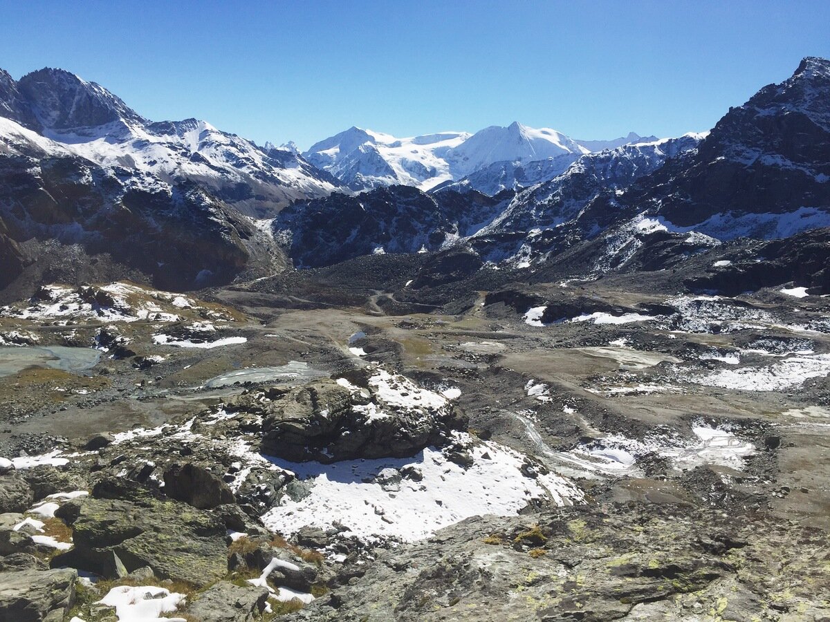
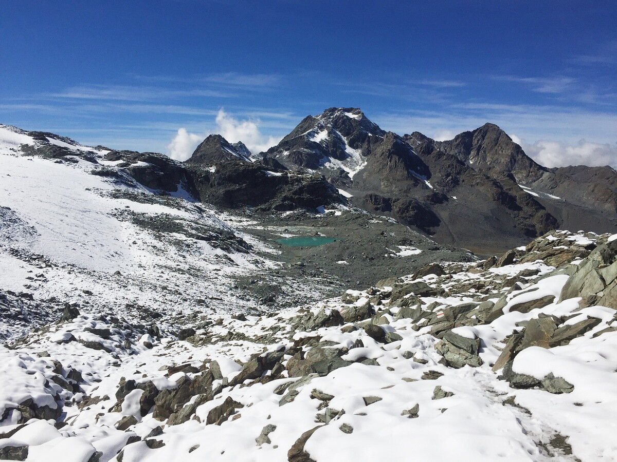
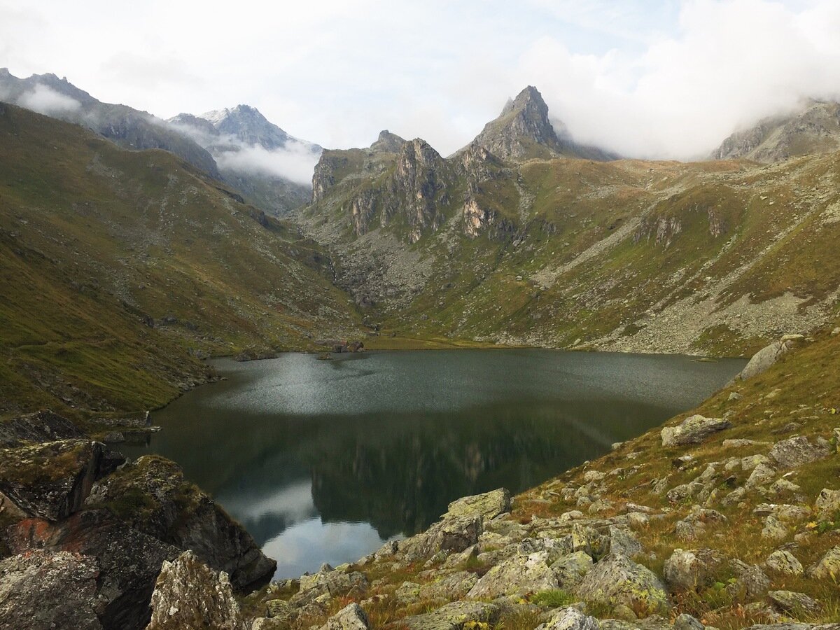
From the Cabane de Prafleuri, we three continued our hike up into a surreal mineral landscape surrounded by amazing mountains. This region was just below the Col de Prafleuri, which we duly climbed before stopping for lunch.
At the Col de Prafleuri (2987 m), with Rosablanche (3336 m) behind.
The view back into Val d'Hérémence past the Pointe d'Allèves.
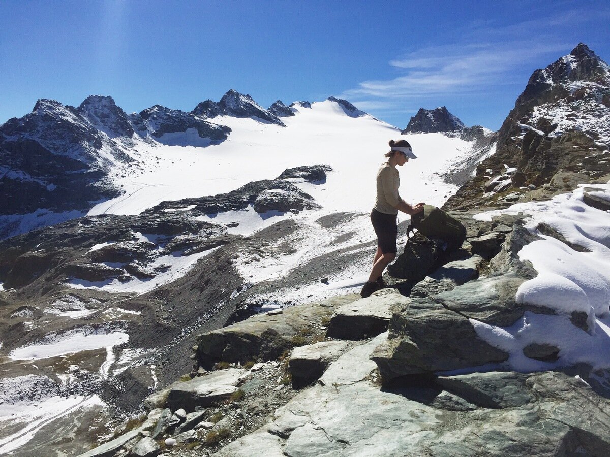
The view forward across the Grand Désert to Mont Fort (3308 m).
From here we walked under the Grand Désert, in the top of the Val de Nendaz, to the Col de Louvie. To get there we had to drop some altitude, climb another rocky spur (again to about 2900 m), descend again and then climb the final slope to the col. All this time we were under the imposing figure of Mont Fort, which is incidentally the highest lifted point in the Verbier ski resort. From the beautifully remote side of the mountain we were on, it was difficult to imagine Verbier just on the other side of the peak.
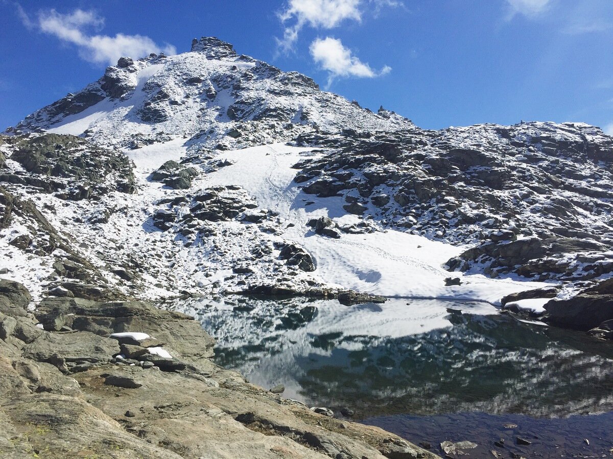
Petit Mont Calme (3215 m).
At the Col de Louvie we were suddenly treated to incredible views of Les Combins (Grand, de Corbassière, and Petit) and their range. Mont Blanc also made an appearance in the distance but quickly hid itself in cloud.
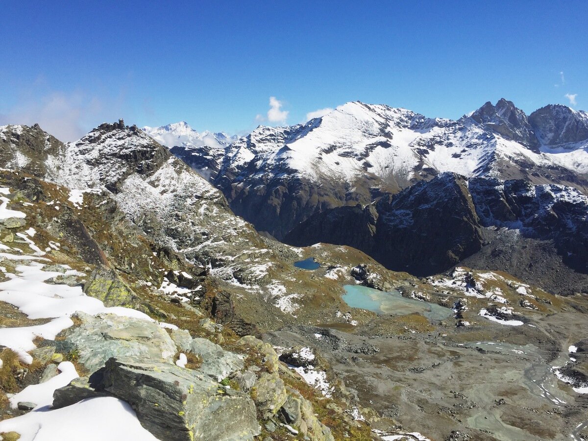
The Col de Louvie (2921 m) and Les Combins.
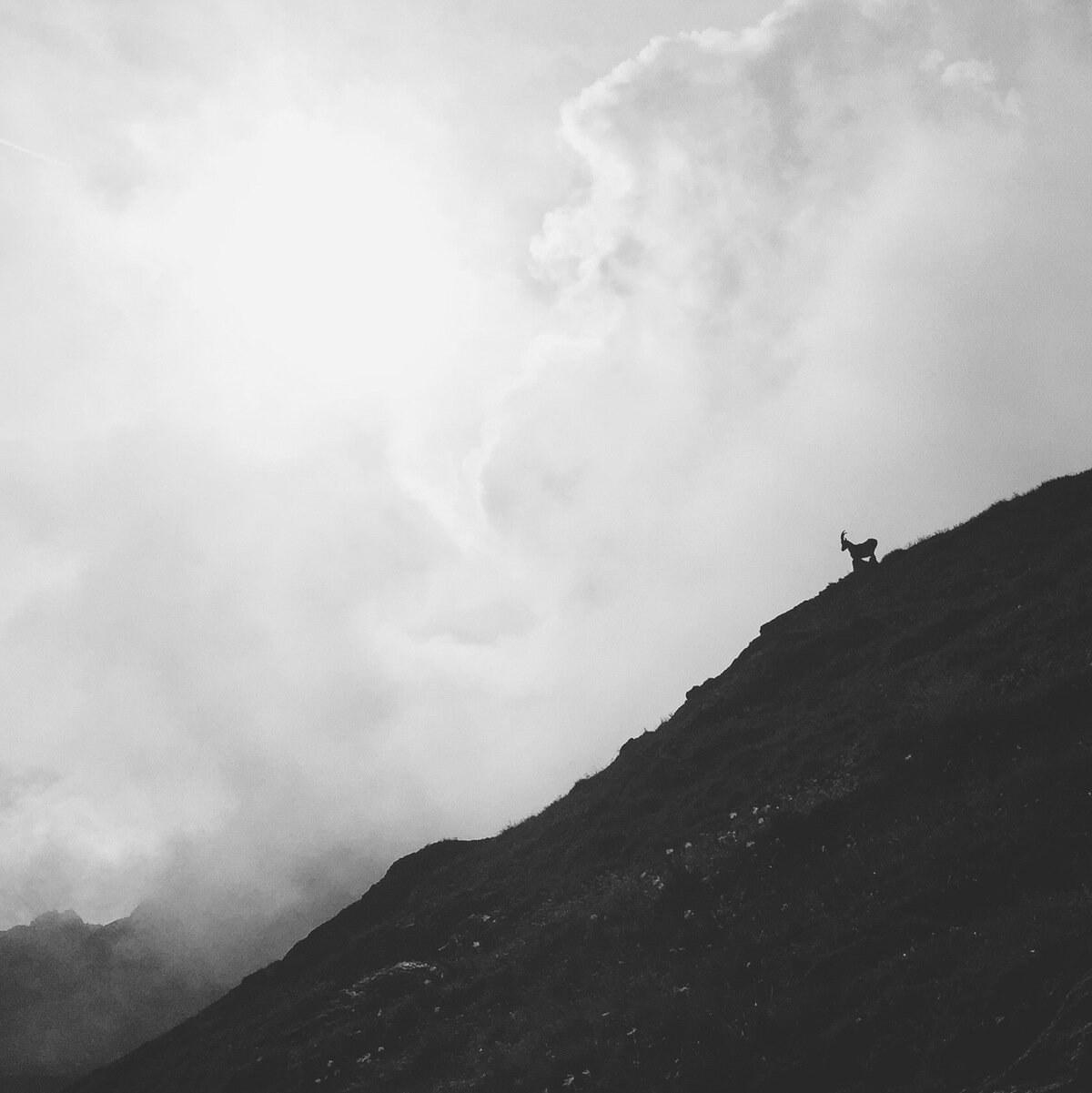
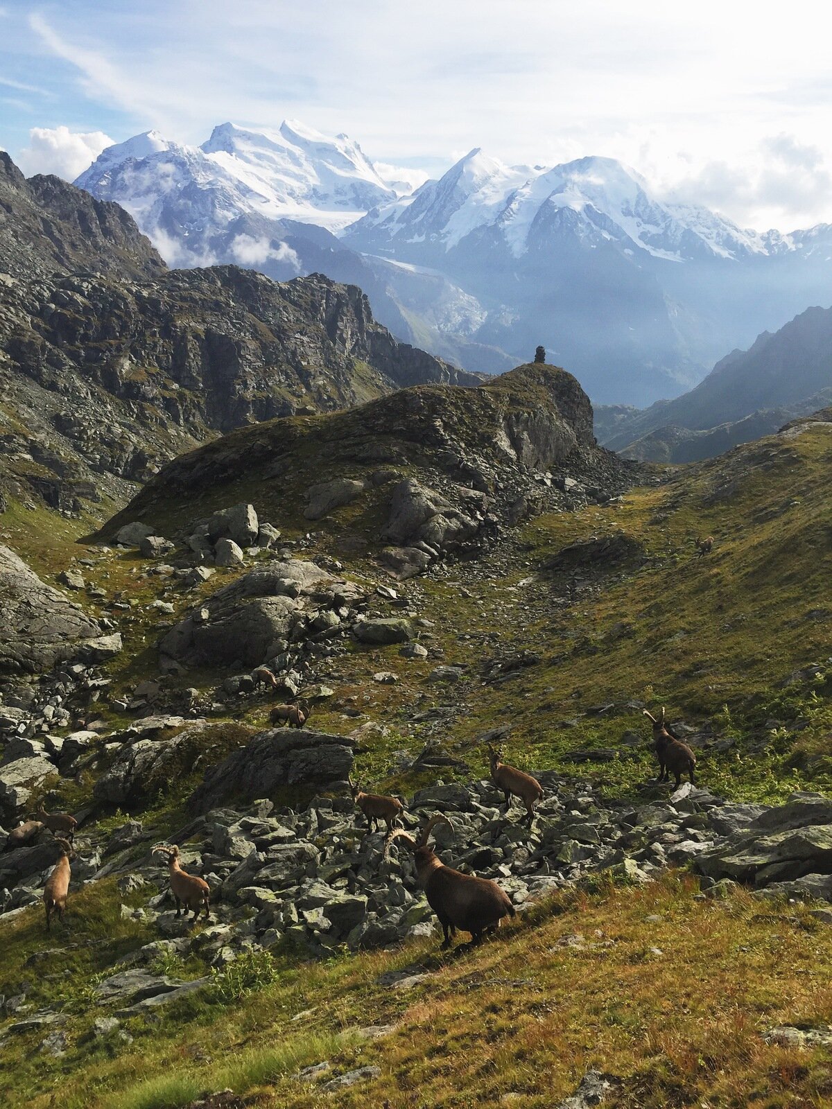
The landscape was totally different after the Col de Louvie. Gone were the rocks and snow that we had been walking in, and they were replaced by steep fields that were astoundingly green. Grazing in these fields were herds and herds of bouquetin (ibex) - much to Tanya's delight.
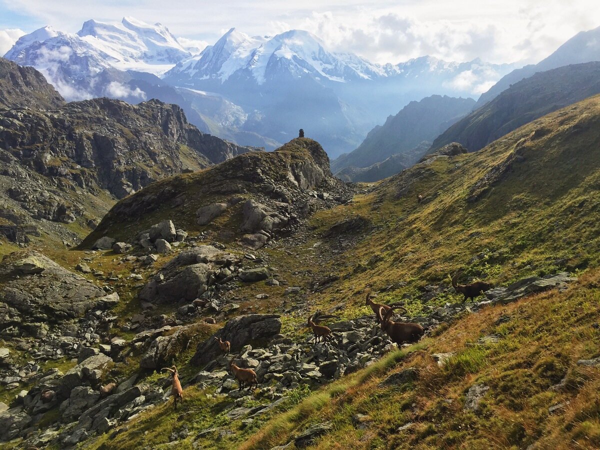
Bouquetin and their view.
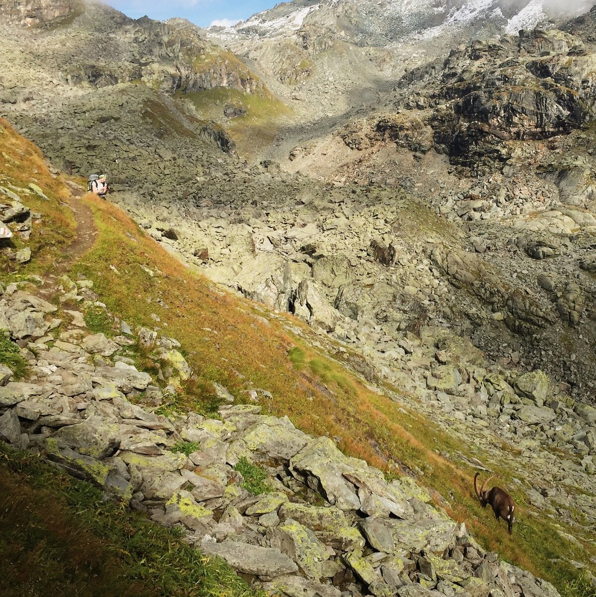
Tanya and a bouquetin in one frame.
Soon we saw our destination for the night, the Cabane de Louvie, next to the Lac de Louvie which was sparkling in the distance. It was still a long way away, and our path there took us around the edge of the valley, contouring at around 2700 m for quite a while. This balcony is one of the most spectacular mountain paths I've ever had the luck to walk on.
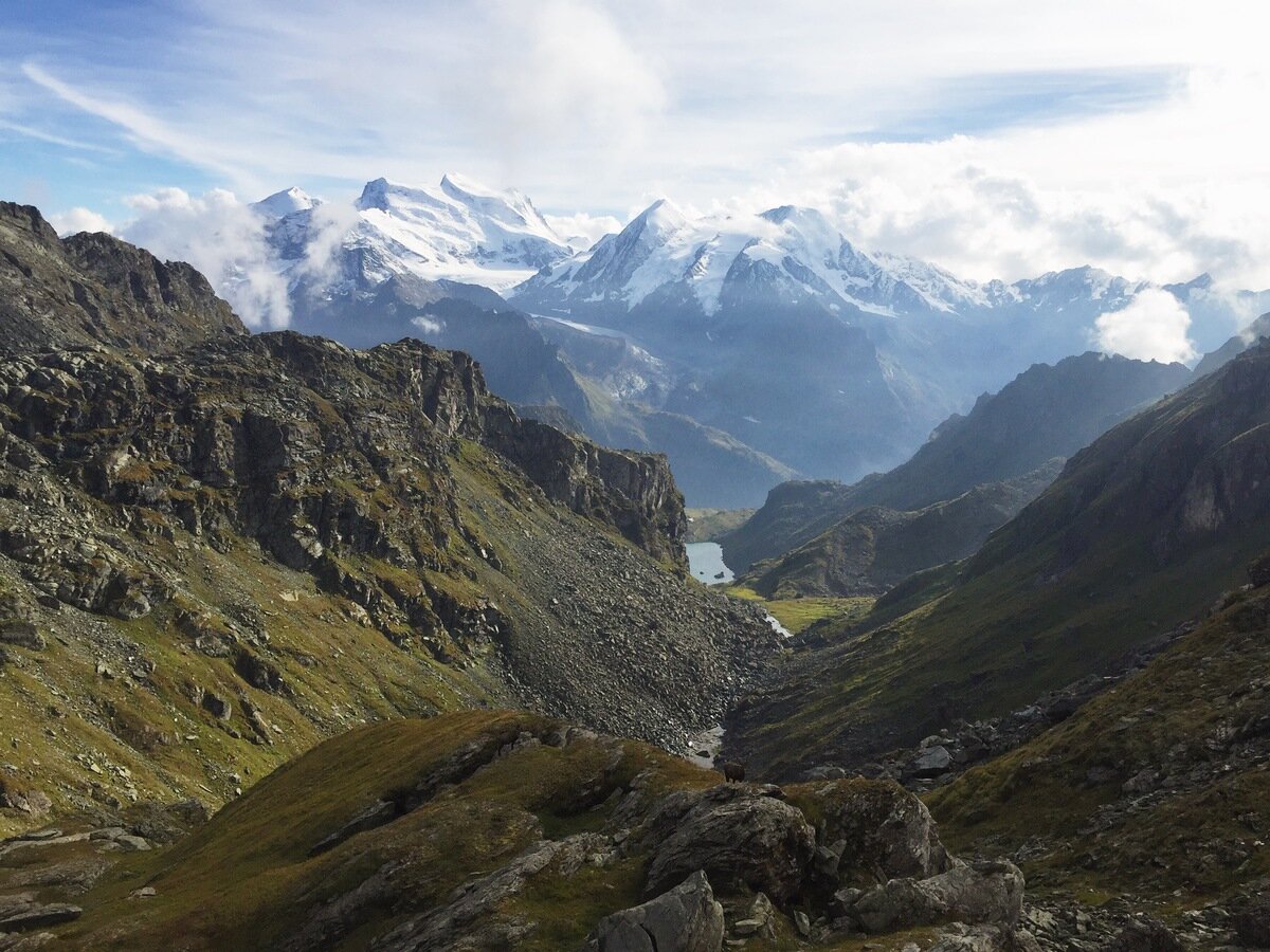
Lac de Louvie and the Combins behind - from afar.
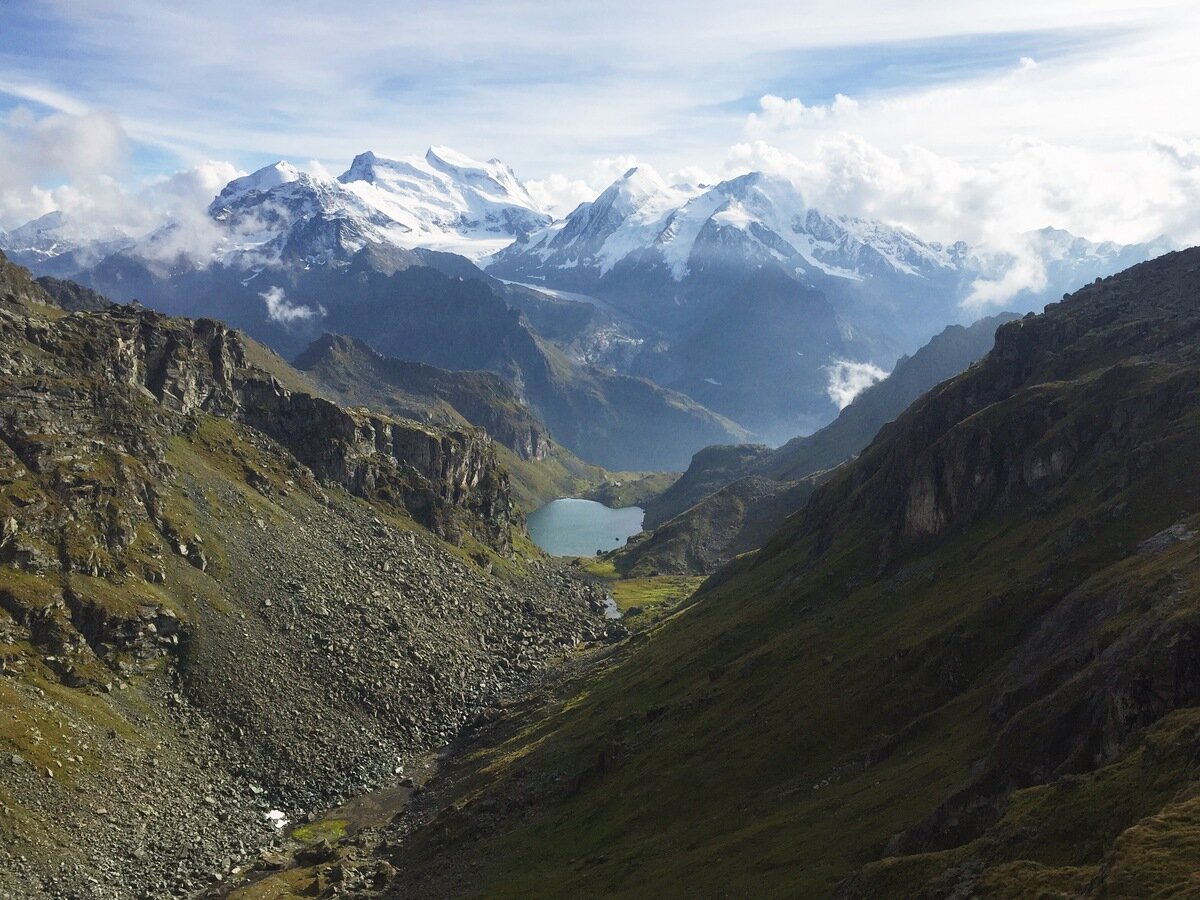
From mid-distance.
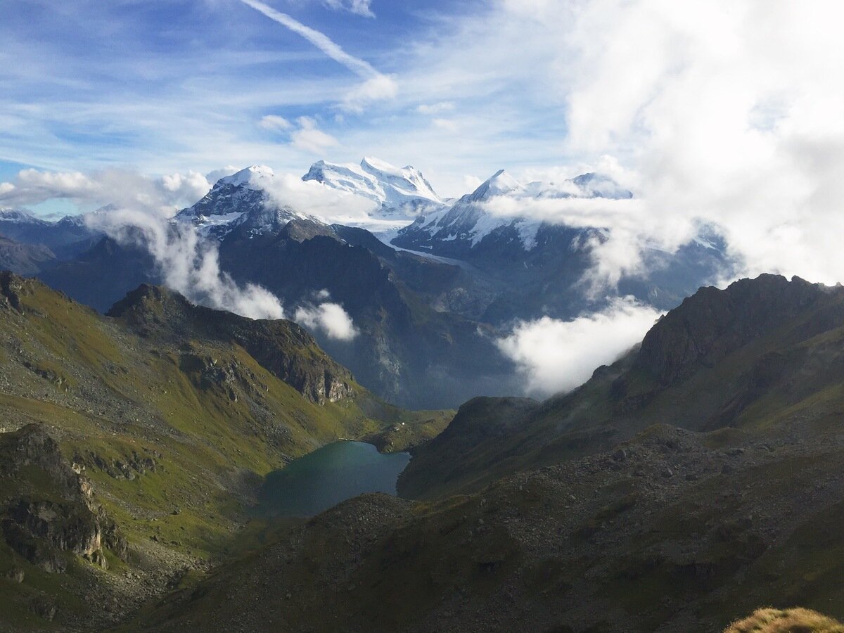
Closer but still a long way down.
By the time the path finally started to head downwards we were flirting with missing dinner at the cabin. We sped up slightly and walked in to the cabin five minutes before dinner was served and just as the sun started lighting up the mountains opposite. The guardienne at the cabin was superbly friendly and she and her cat Chips looked after us very well.
The Cabane de Louvie.
Looking back at the Lac de Louvie.
This was a truly incredible day of walking, in which we sampled most types of mountain terrain, saw loads of ibex, and were spoiled with the most amazing views imaginable. All up my day from Dixance to Louvie was 14 km with 945 m climb and 1097 m descent. Tanya and Andy's day, which started at the Cabane des Dix, was an impressive 22 km with 1018 m up and 1717 m down. That night as the sun set over the Grand Combin we got out our maps and planned out where to walk the next day.