Rock and Ice
I've just come back from a rather spectacular three days in the mountains, learning how to climb them. Tanya and I went on a rock and ice basic mountaineering course organised by EPFL's club montagne. We had a fantastic time. The course was held in the mountain range that divides Val Ferret (Switzerland) and the Chamonix valley (France). We started at the Swiss town of Champex, from which we took a chairlift to La Breya and then walked to the Cabane d'Orny.
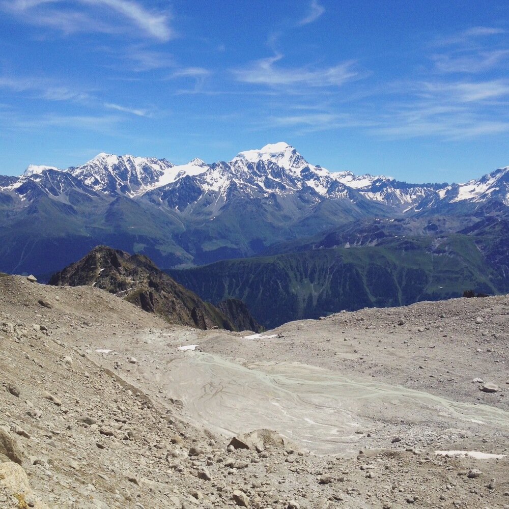
Looking across Val Ferret to the Grand Combin (4314 m).
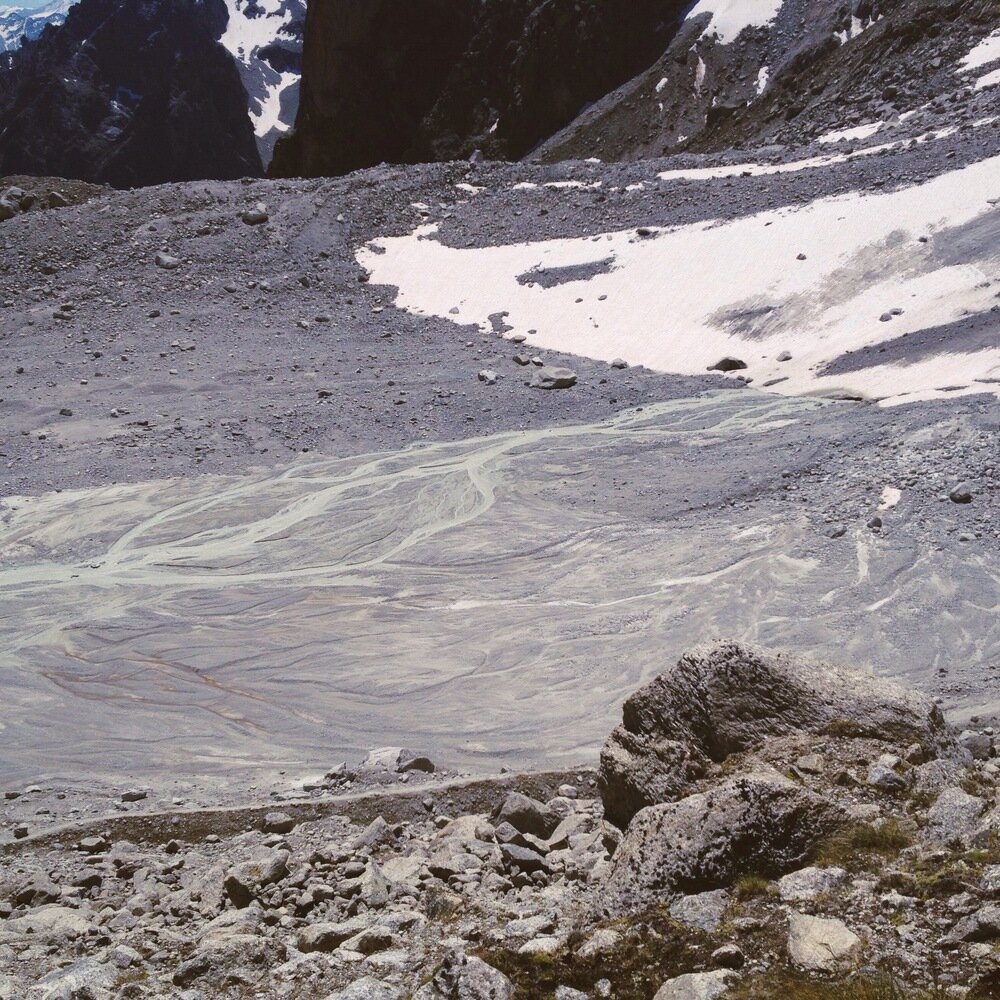
A braided river emerging from the Glacier d'Orny.
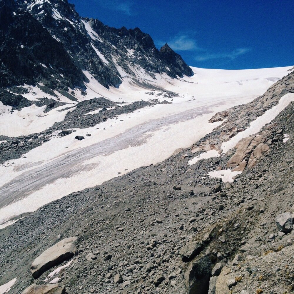
Glacier d'Orny.
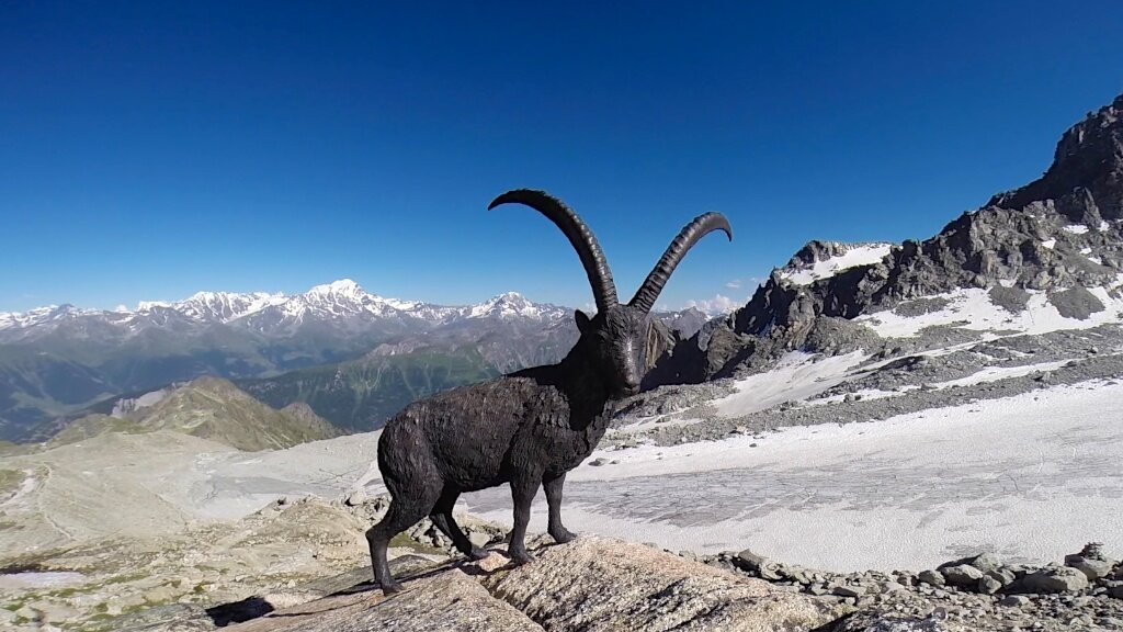
Cabane d'Orny has a fantastic bouquetin statue out the front.
Our first day was spent walking to the cabin, then rock climbing on the super-solid granite of the Aiguilles d'Arpette, directly behind the hut. There are all levels of routes there in an amazing alpine environment, the rock is really grippy, and it's a bolted crag despite the fact that, at least where we were, the rock practically eats trad gear. While we climbed on lead clipping bolts our mountain guide soloed up and down wearing crocs.
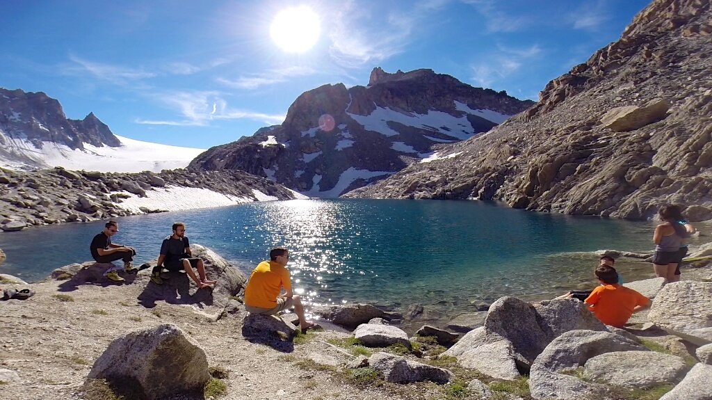
The lake at Cabane d'Orny.
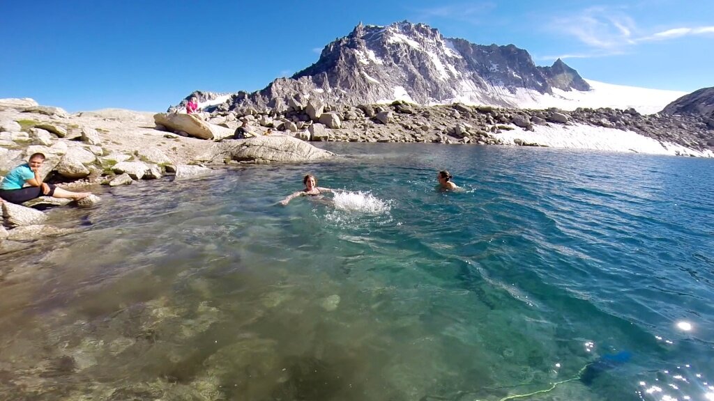
Some crazy people swam. In this photo: Tanya (centre), ice (right).
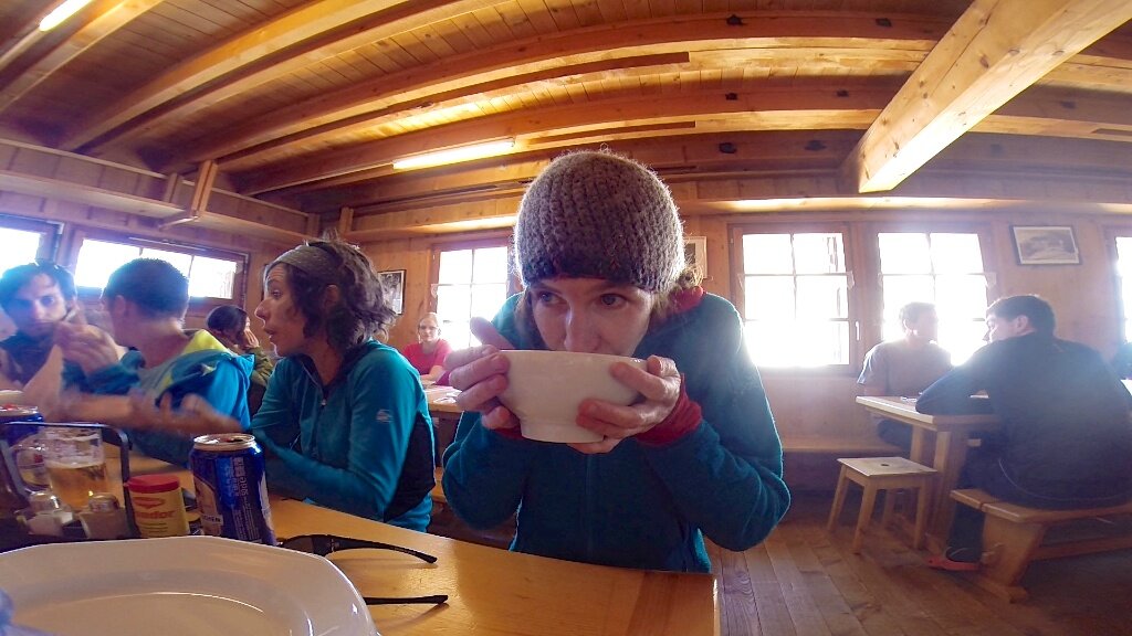
Tanya warming up post-swim with a hot chocolate.
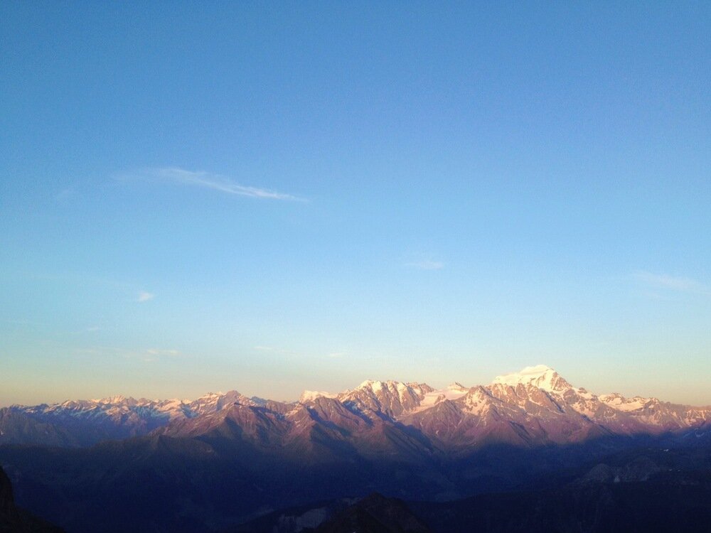
Sunset on the Grand Combin.
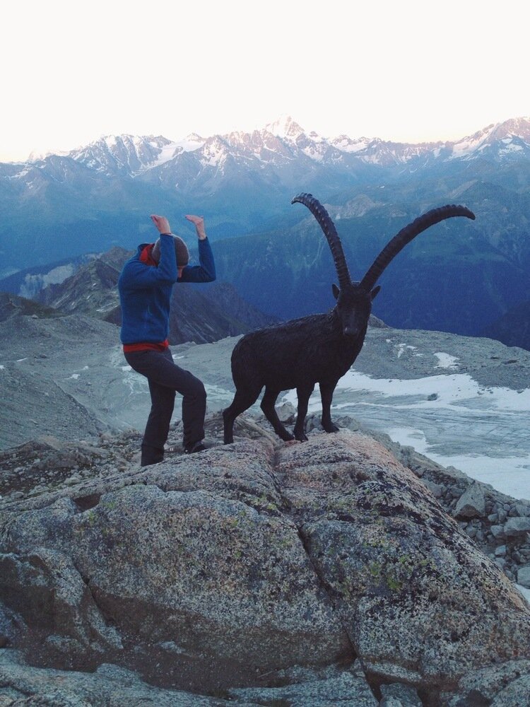
Two bouquetin outside the Cabane d'Orny.
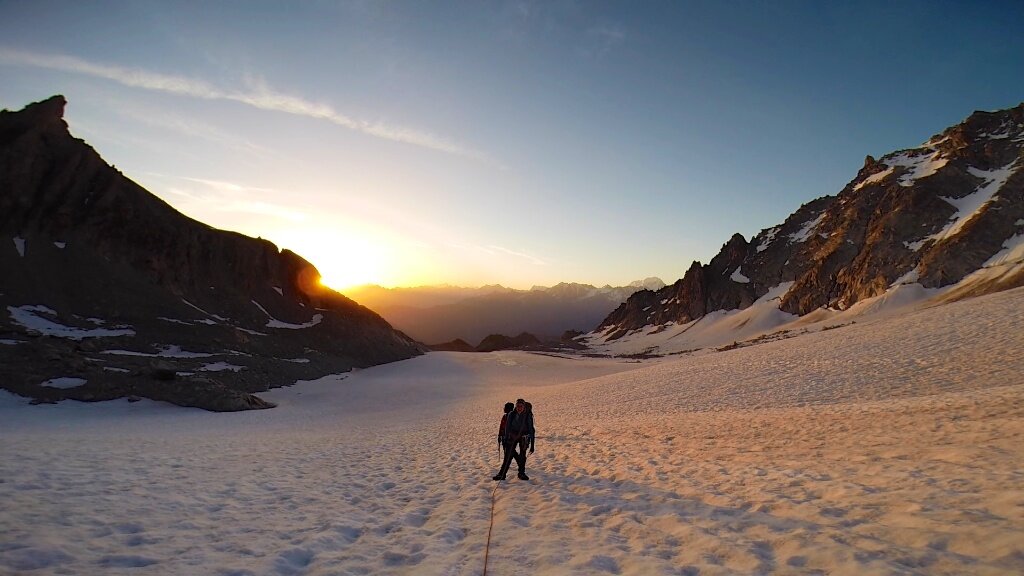
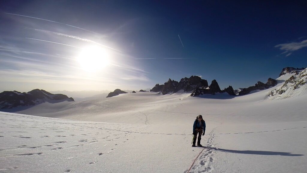
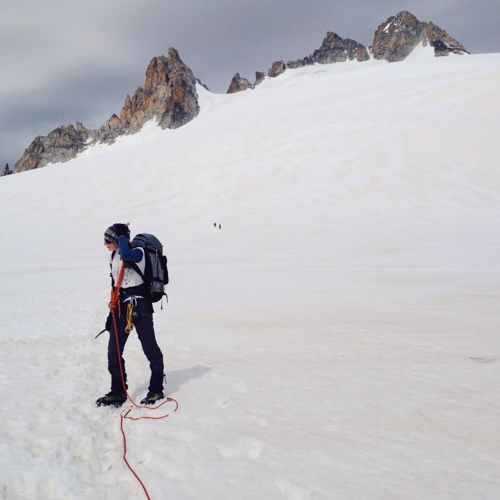
On Saturday it was time for our climb of the trip - moved forward a day because of forecast "violent storms" on Sunday. This turned out to be a good move. So on Friday night we set the alarm for 3:45 and got a few hours sleep before it was time to head out into the morning chill. They sky was perfectly clear as we headed onto the glacier, strapped on crampons, tied in to roped parties, and started walking upwards.
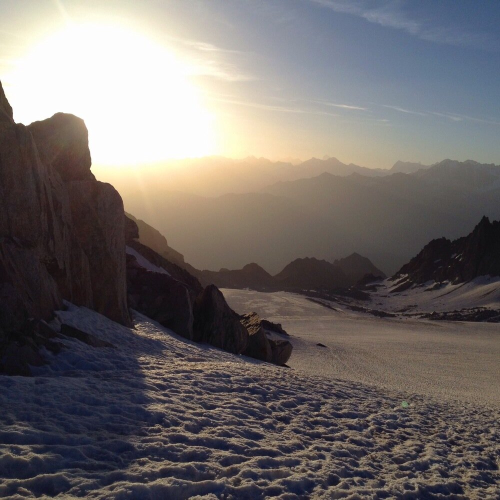
Sun rising over the Glacier d'Orny.
At the Col d'Orny.
Sunrise on snow.
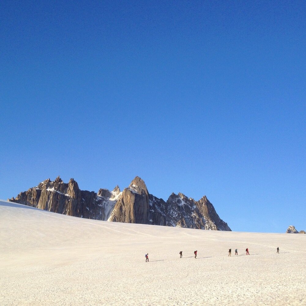
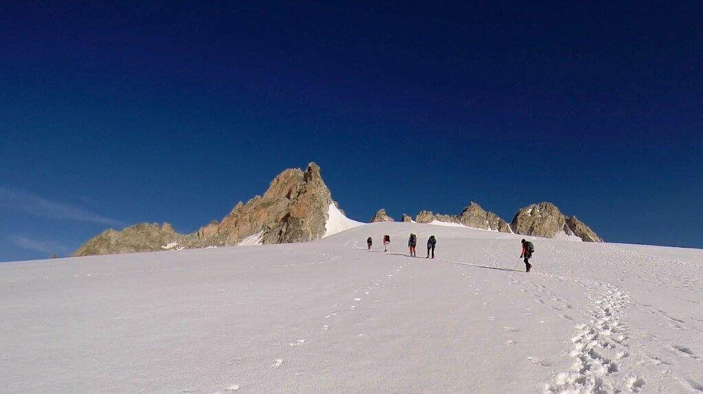
Climbers in front of the Aiguilles Dorées.
From the Cabane d'Orny it was a short climb up to the Col d'Orny, from where we could already see our goal for the day - the Aiguille du Tour. It was nosing up over the Plateau du Trient, a vast expanse of ice that we tracked across before moving up to the bergschrund just below the summit rocks.
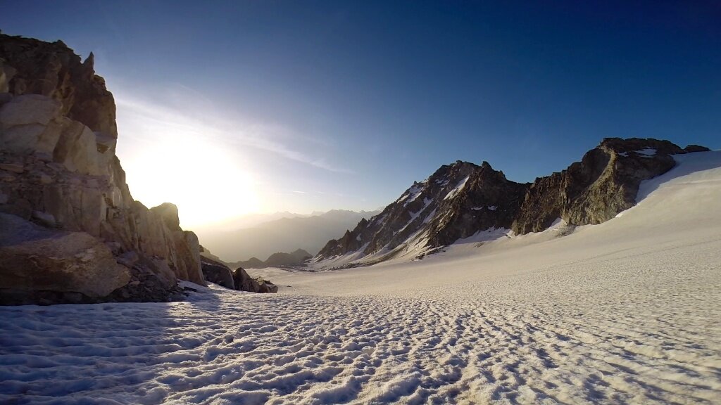
The Plateau du Trient.
Approaching the Aiguilles Purtscheller and du Tour.
To get onto the rocks we climbed up the couloir that separates the north and south peaks of the Aiguille du Tour. We climbed the south peak. If you ask the Swiss mapping service, the two peaks are the same height, at 3540 m. If you ask the French mapping service, however, they will tell you that the north peak is two metres higher. I am going to believe the Swiss service, not least for the vain reason that it means I was standing on the equal-highest point of the Aiguille du Tour.
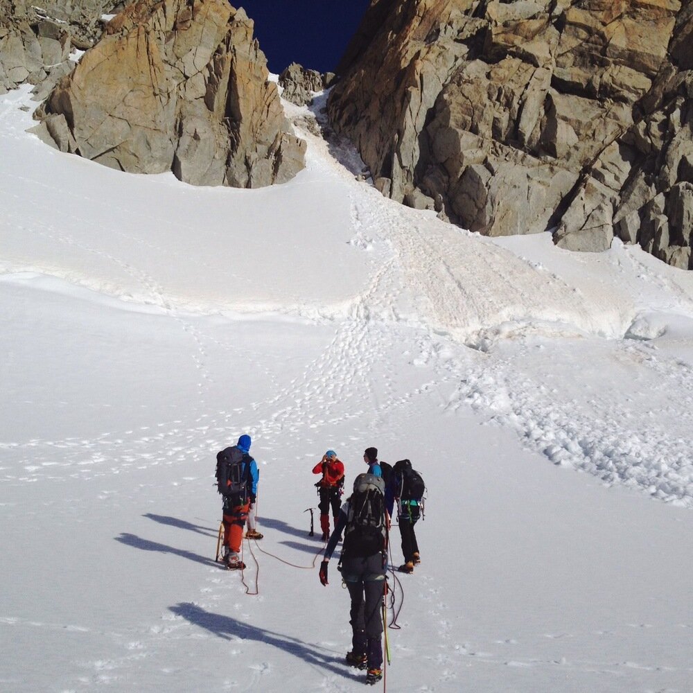
About to climb the couloir between the south and north peaks.
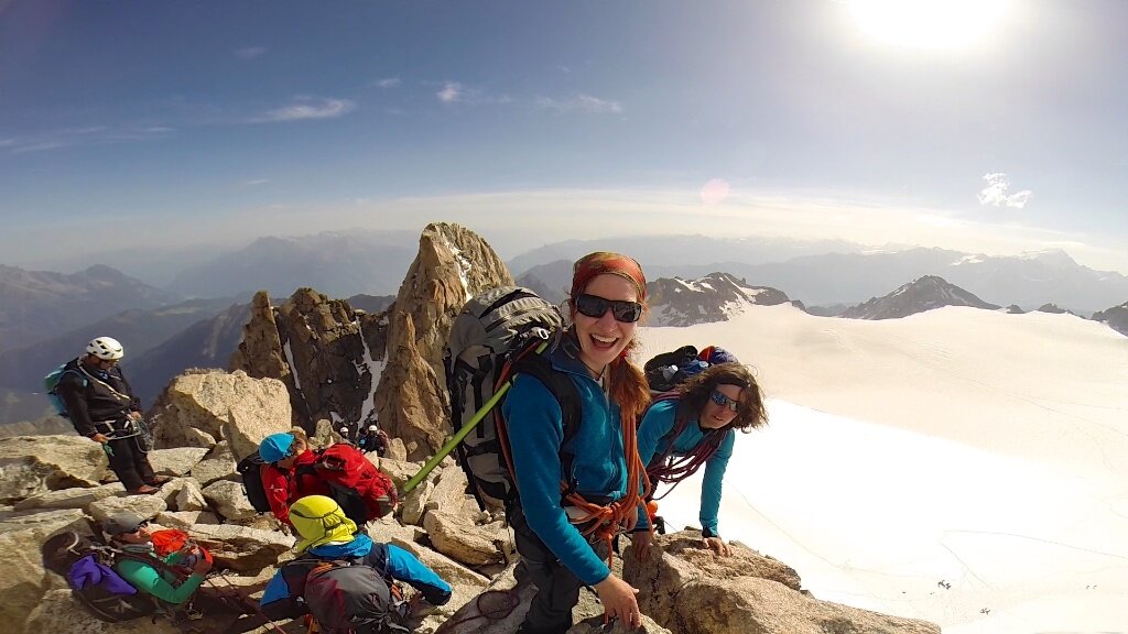
Summit of Aiguille du Tour south peak (3540 m)!
The rocks to the summit involved solid, easy climbing with nice exposure all around. What a great mountain! From the top we had a truly incredible view of the Mont Blanc massive, which was now starting to gather some cloud together to throw at us later on.
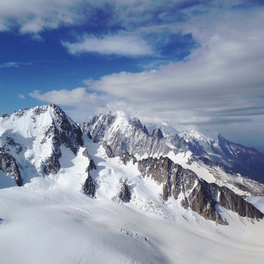
View of the Mont Blanc Massif from Aiguille du Tour.
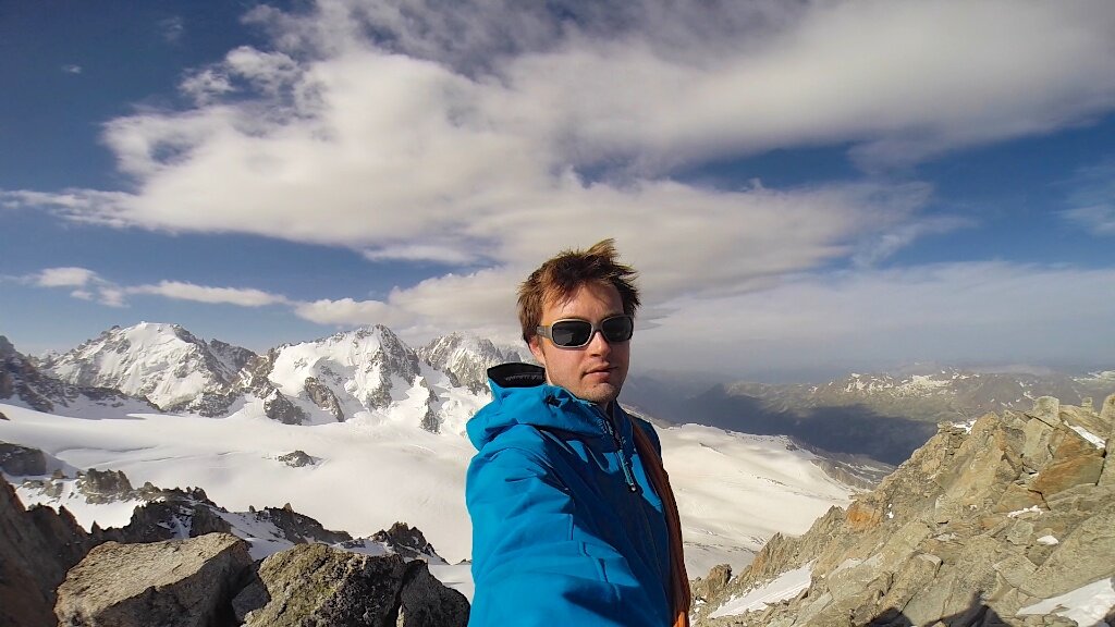
Summit selfie.
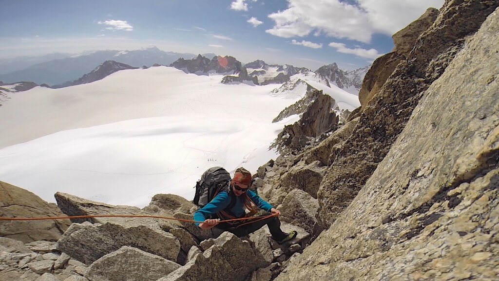
Tanya descending from the Aiguille du Tour.
Tanya on the descent, behind is (L-R) Aiguille Purtscheller, Aiguille du Tour south peak and north peak.
As well as the fantastic climb of a peak, we did a lot of talking about and practicing of climbing techniques, knots, uses of the rope, crevasse rescue, map reading, and other useful mountainish things.
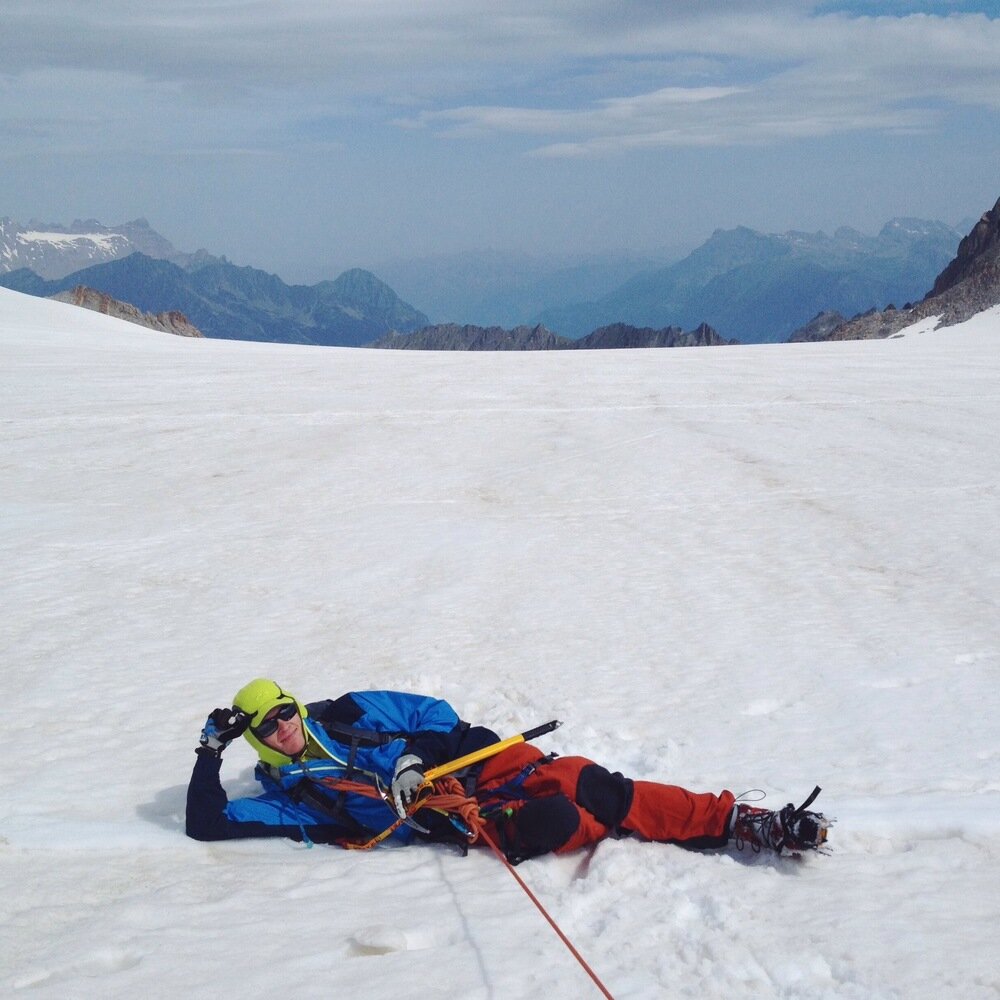
Sam pretending semi-convincingly to need rescuing.
Due to our early start we arrived at the Cabane du Trient early in the day, and watched as the weather changed and came in as forecast. Tanya and I wandered up the Pointe d'Orny, just behind the cabin, to see the nose of the Glacier du Trient.
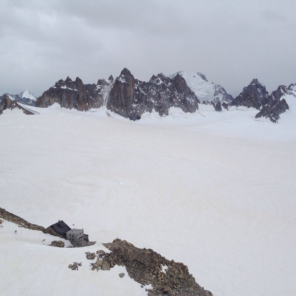
Cabane du Trient with Aiguilles Dorées behind.
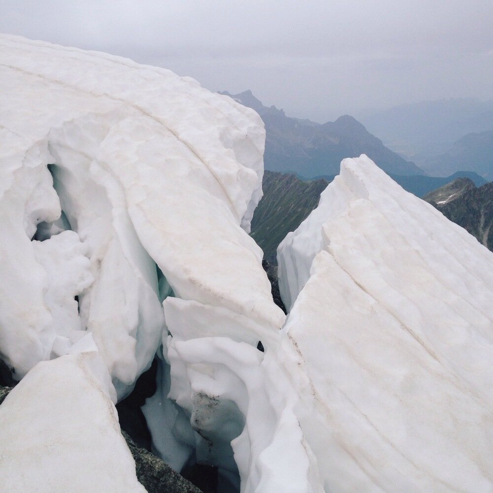
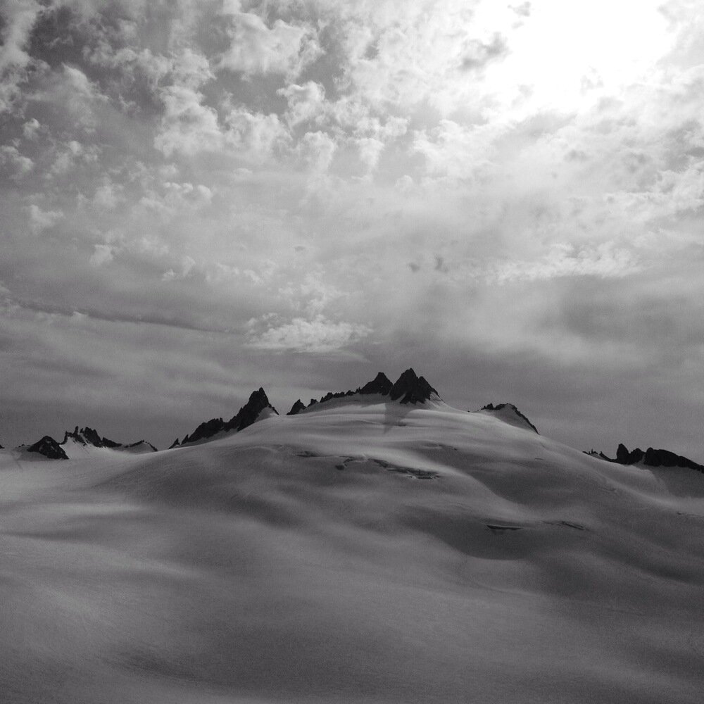
Interesting snow formations on the Pointe d'Orny.
Aiguille du Tour from the cabin.
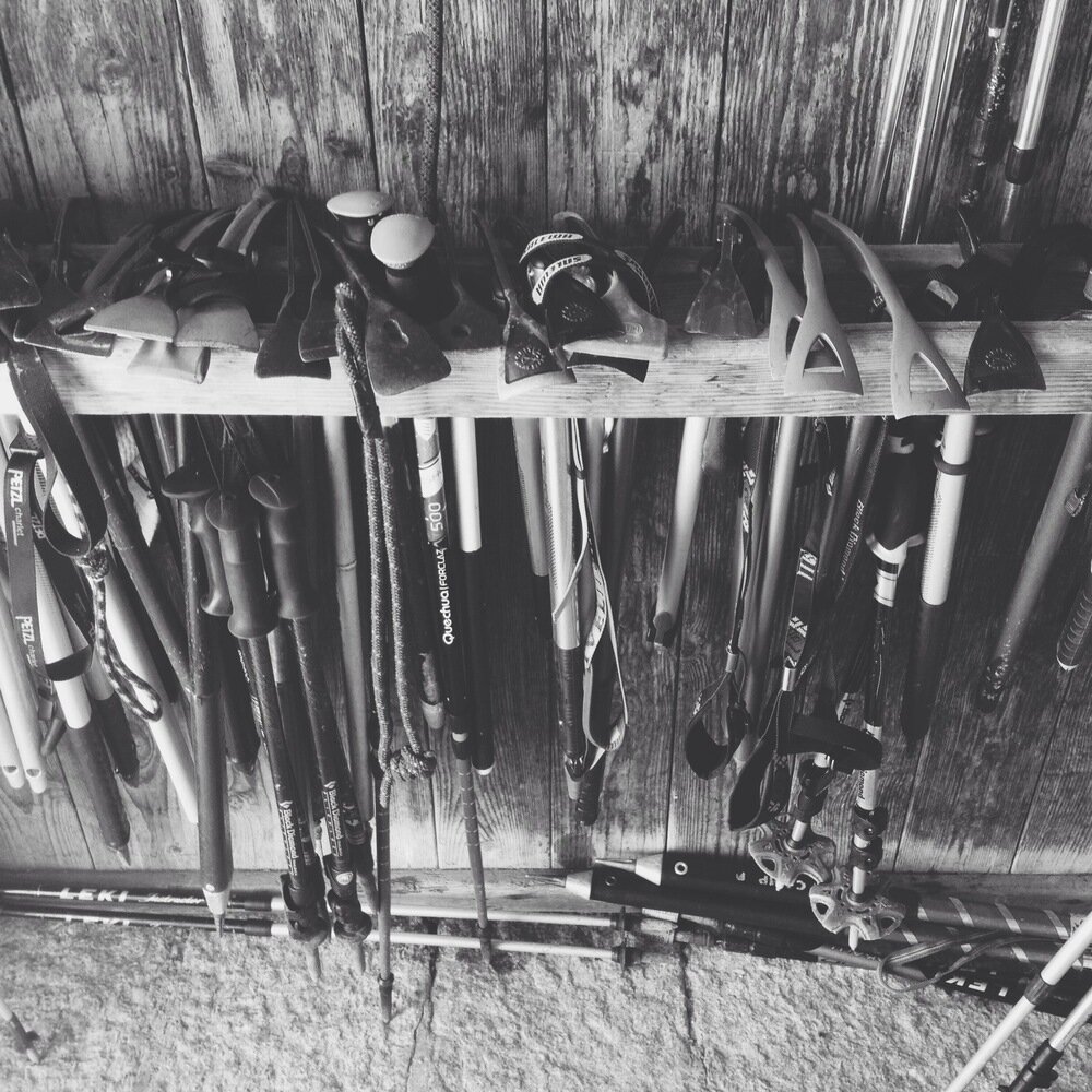
Equipment at the cabin.
On Sunday morning the weather really arrived and it poured with rain while we practiced hauling people out of glaciers. Eventually we decided enough was enough and retreated to the Cabane d'Orny, where hot coffee and guide-books kept us occupied until it was time to walk back to the chairlift and reluctantly return to real life.
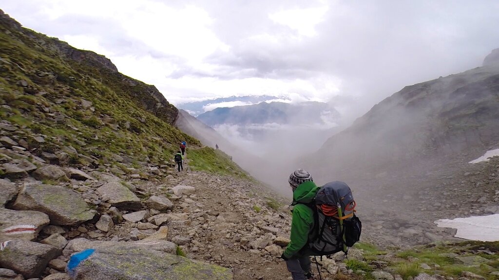
Walking down in the rain.
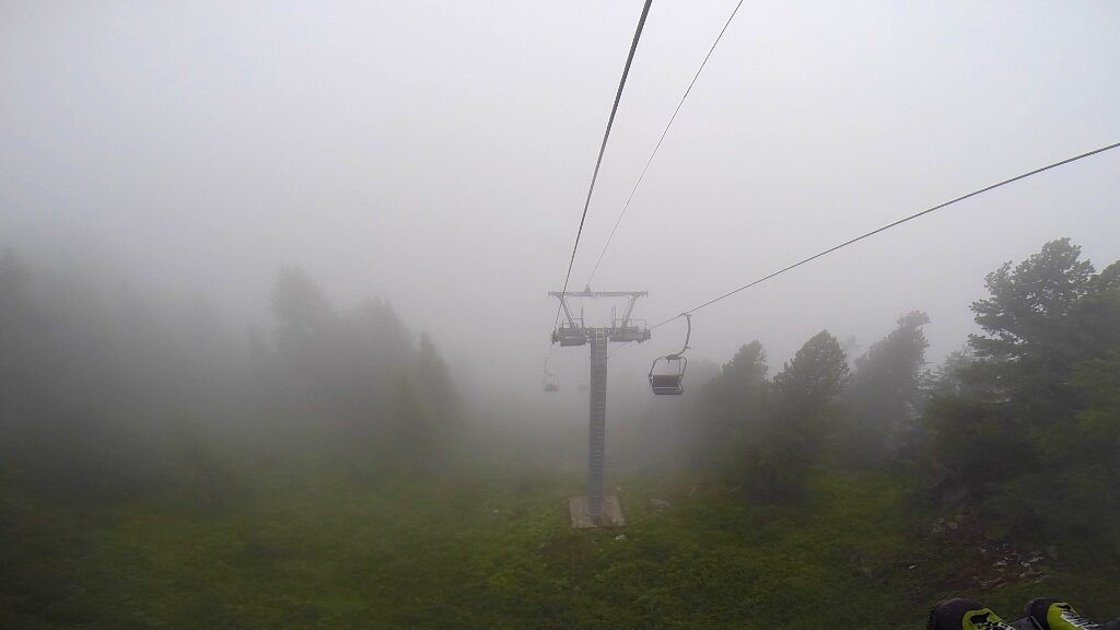
The chairlift back to Champex and society at large.